FREE UK Shipping on orders over £75 | Every purchase supports the British Library


£25.00
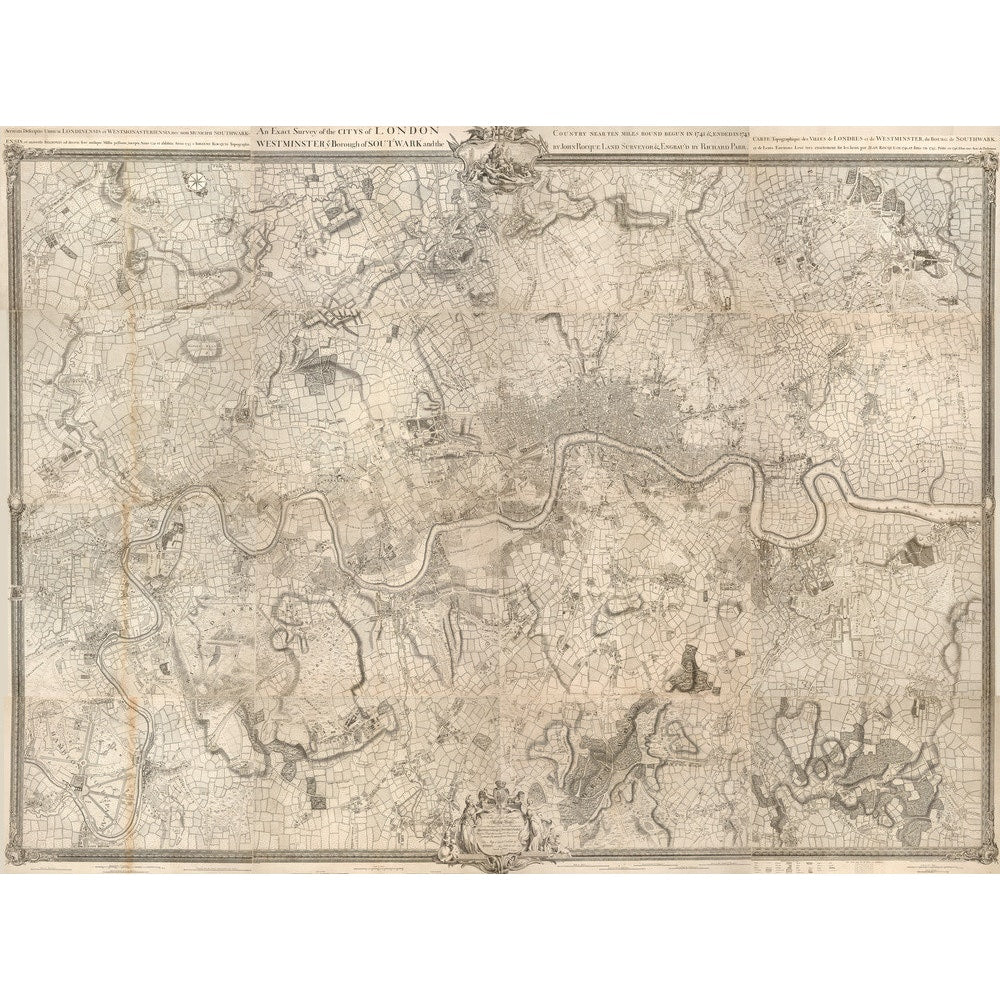
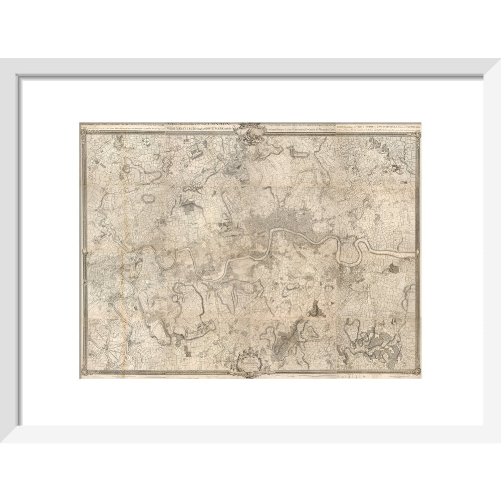
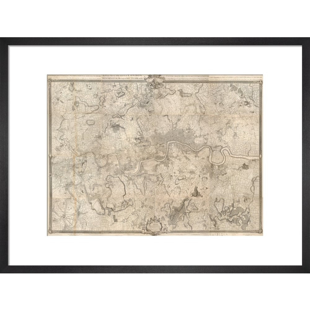
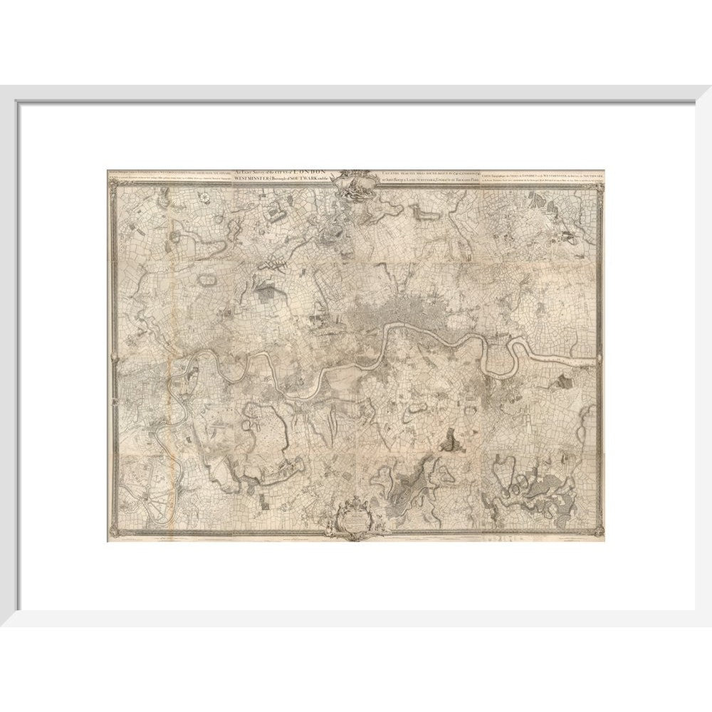
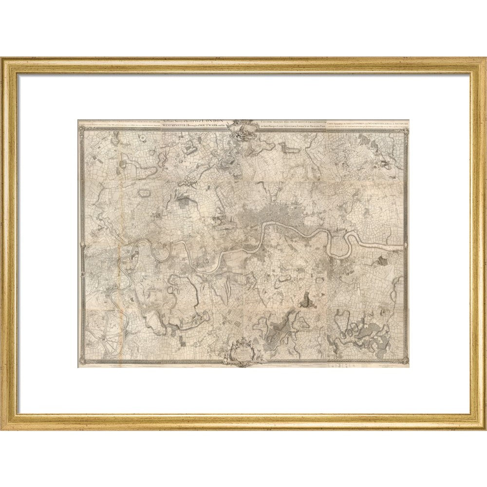
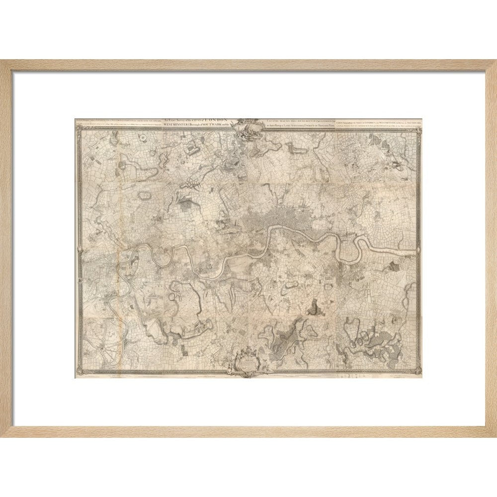
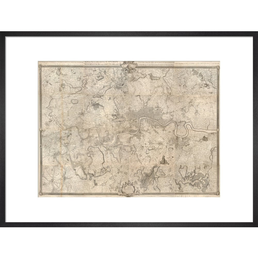
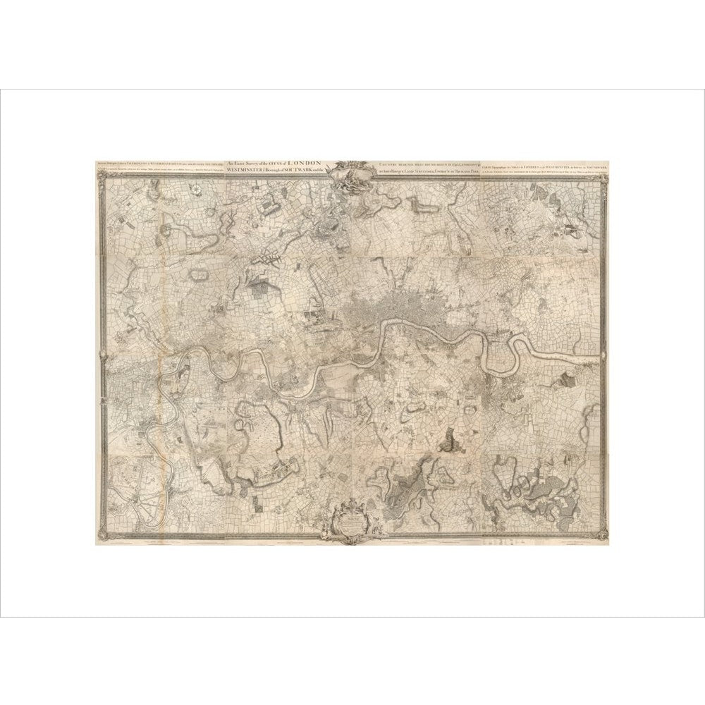
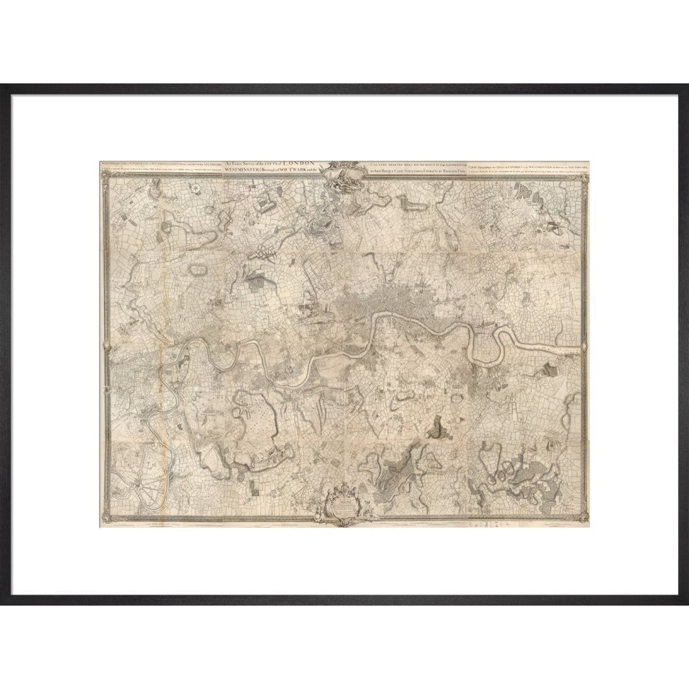
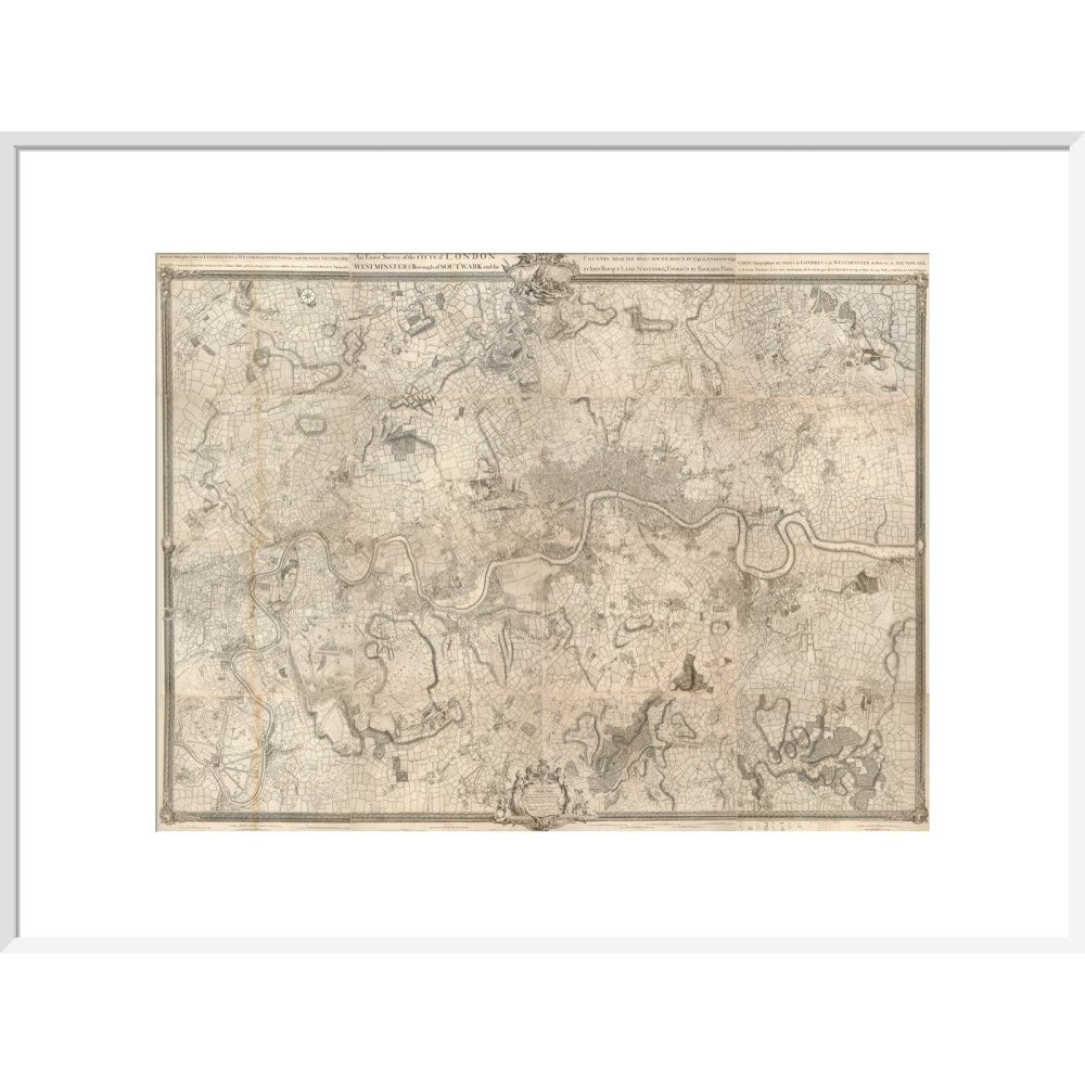
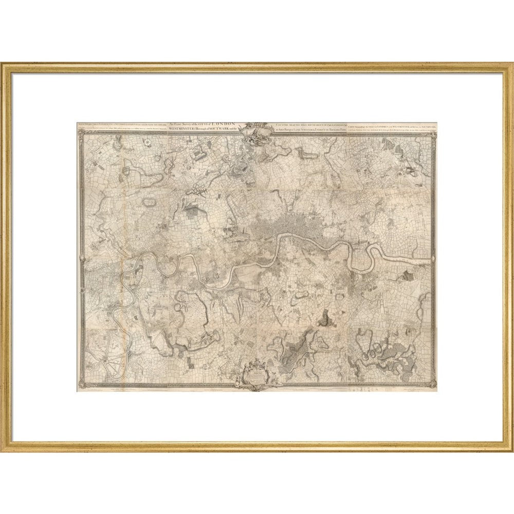
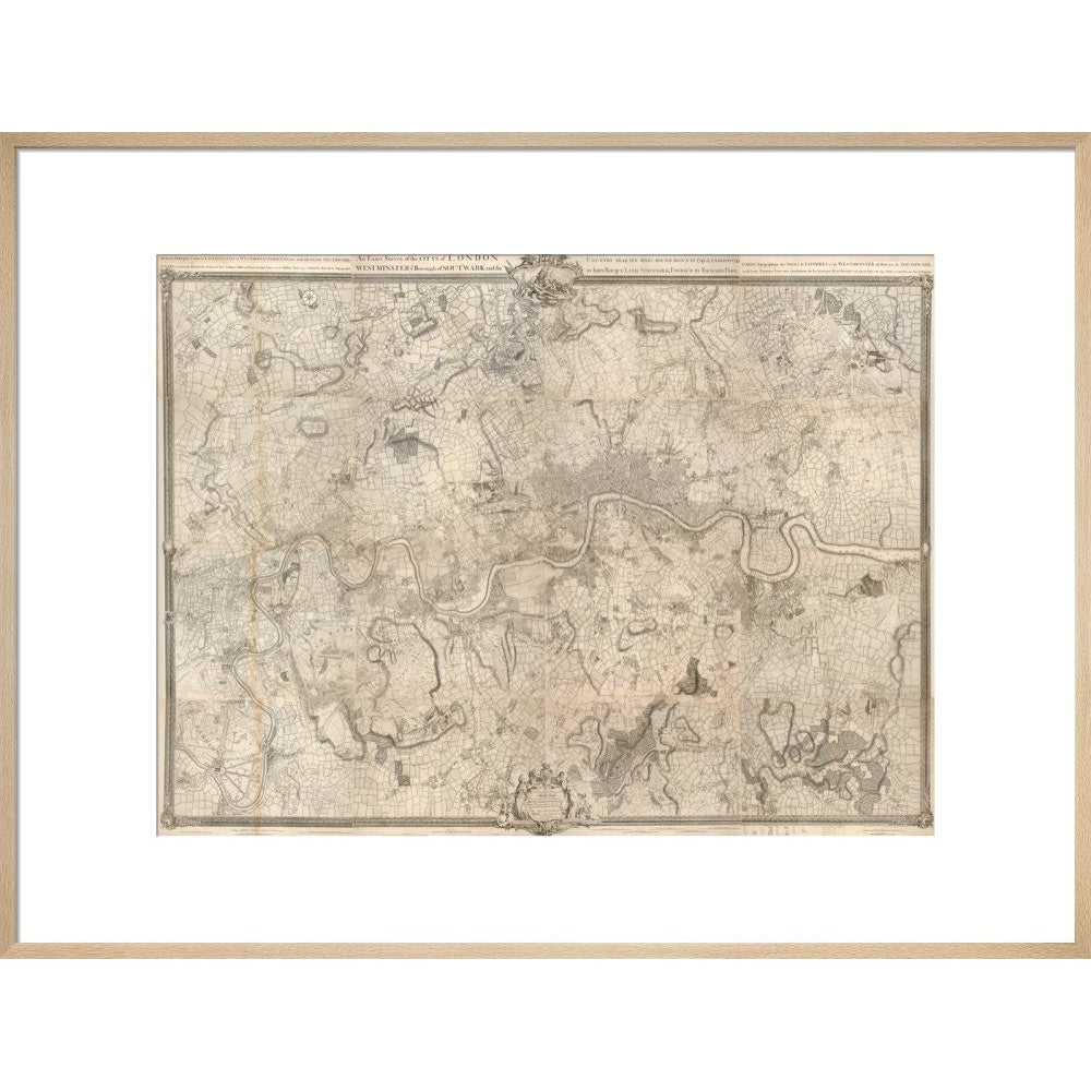
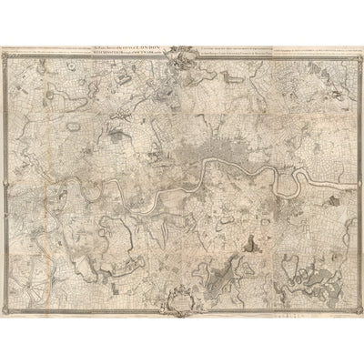
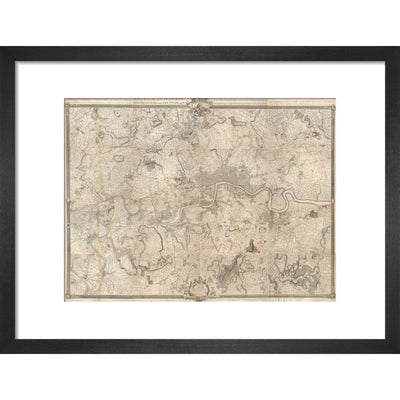
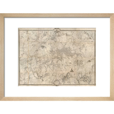
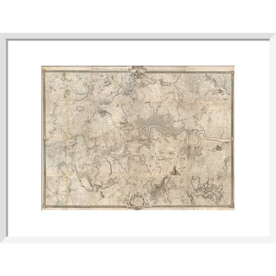
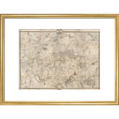
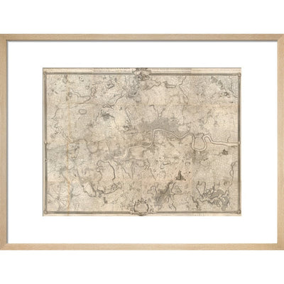
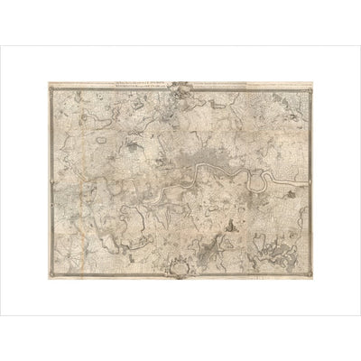
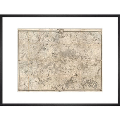
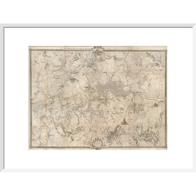
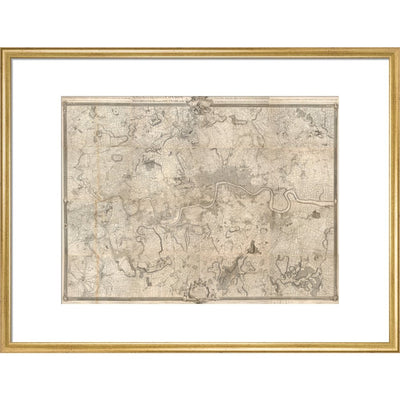
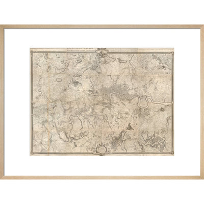
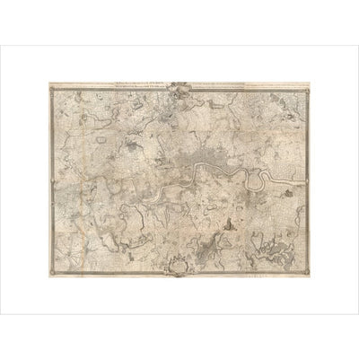
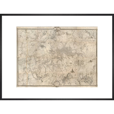
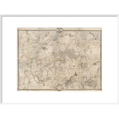
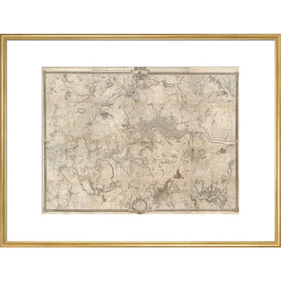
A black and white map of the London area begun in 1741 and completed in 1745 by John Roque, engraved by Richard Parr. It is entitled: An Exact Survey of the Citys of London, Westminster, ye Borough of Southwark, and the Country near Ten Miles round, with the title given in English, Latin and French. The map was originally printed in 16 sheets, and is set within a decorative border. This detailed historic map shows London from Harrow on the Hill and Tottenham Hale in the north to Mitcham Bridge and Penge Common in the south, and from Hounslow, Twickenham and Teddington Commons in the west to Woolwich and Shooter's Hill in the east. Maps.Crace.19.18.
Creator: John Rocque