FREE UK Shipping on orders over £75 | Every purchase supports the British Library


£25.00
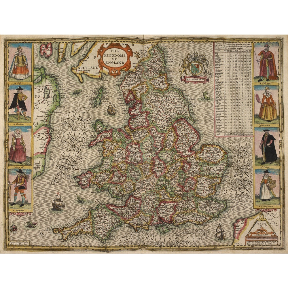
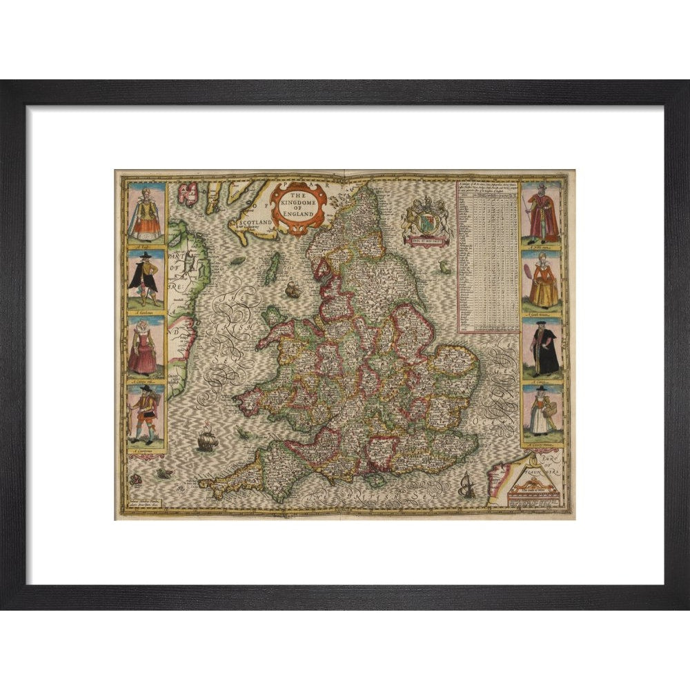
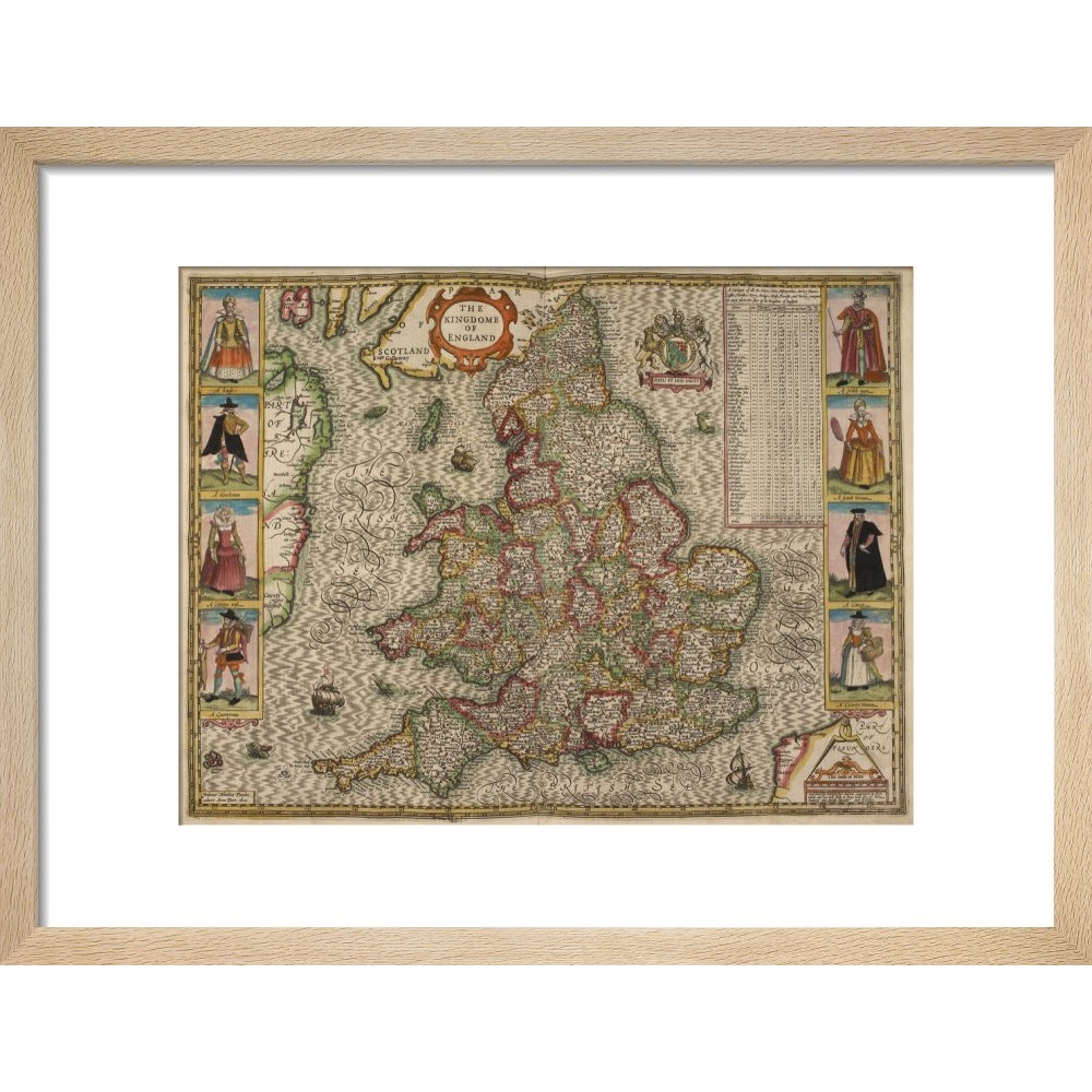
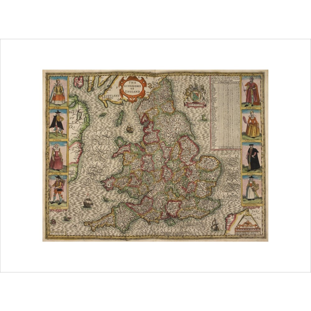
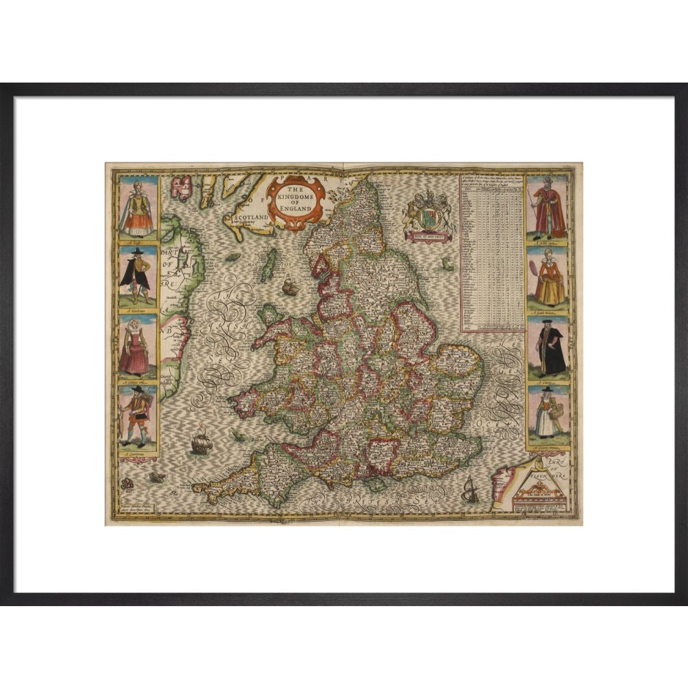
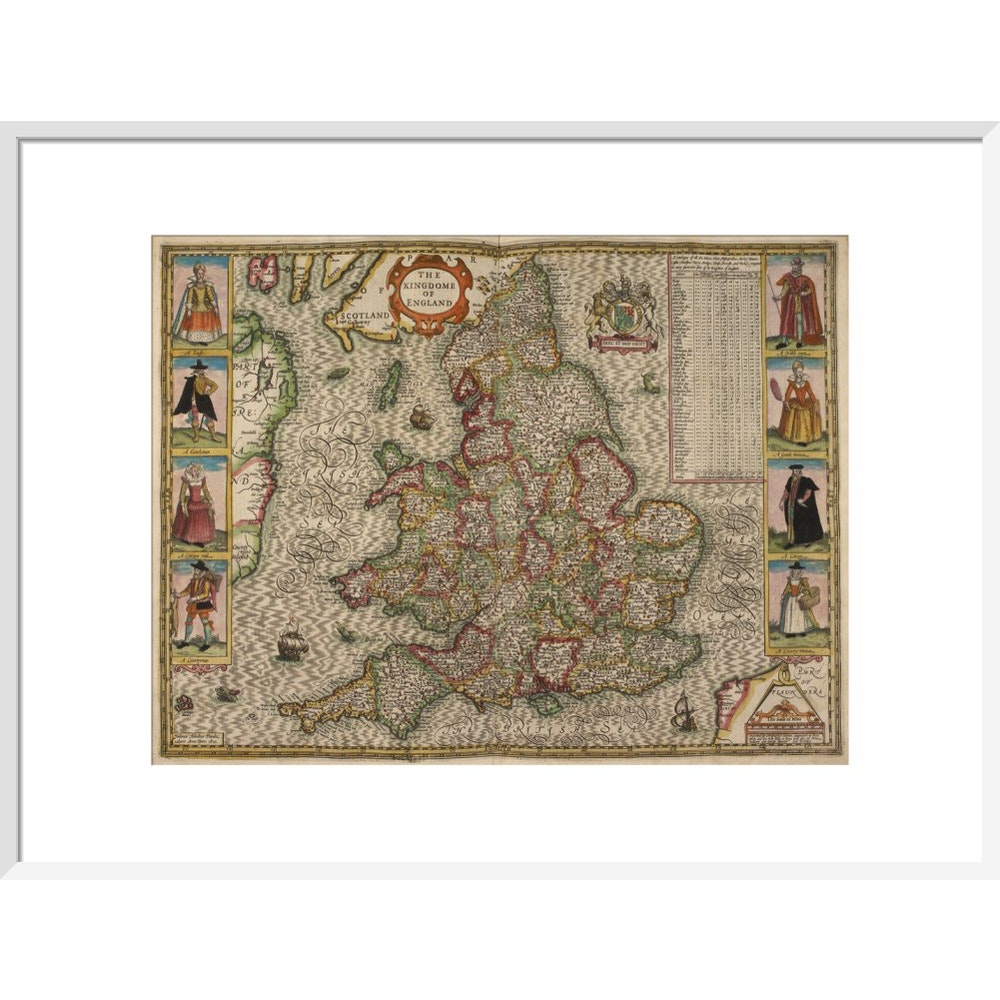
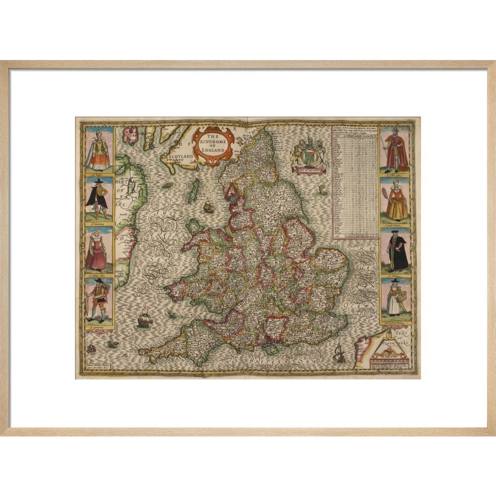
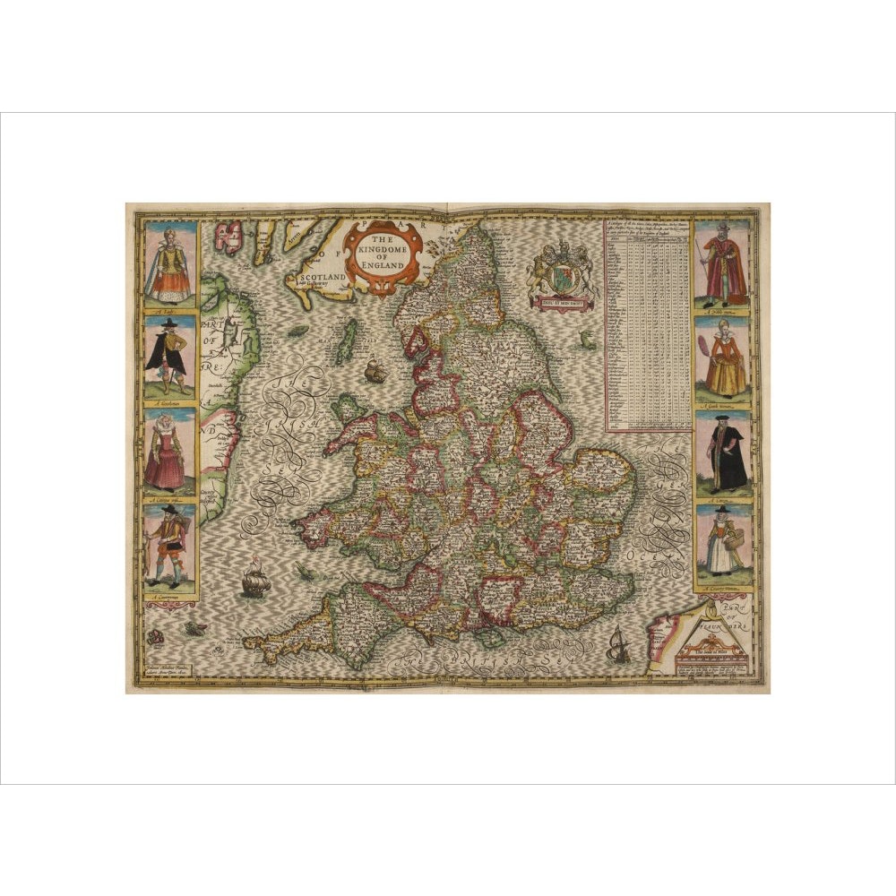
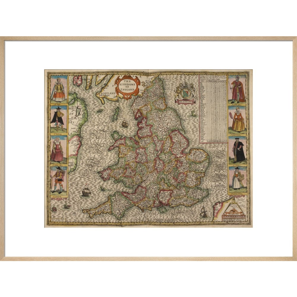
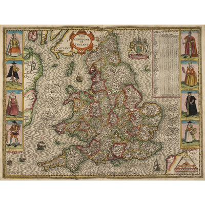
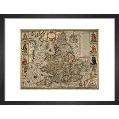
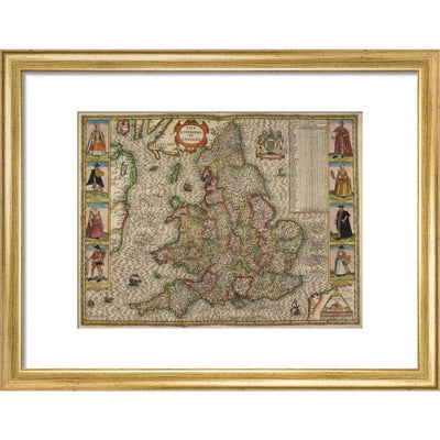
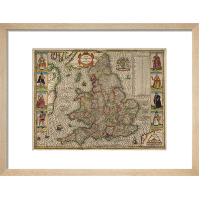
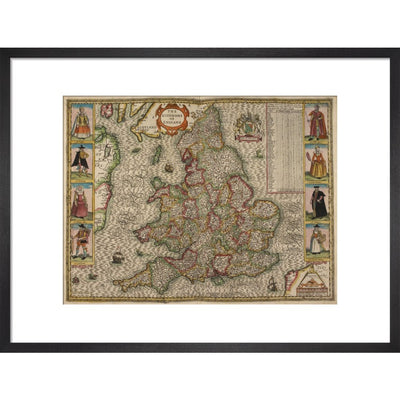
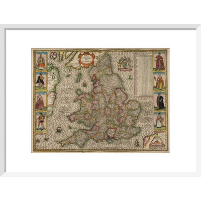
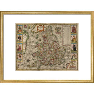
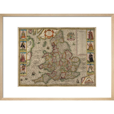
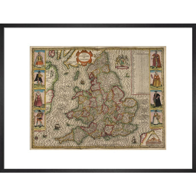
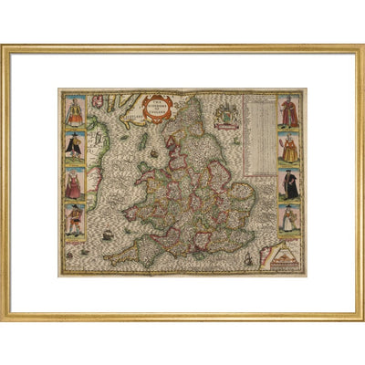
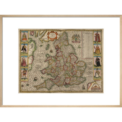
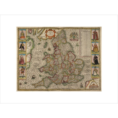
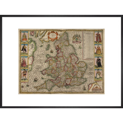
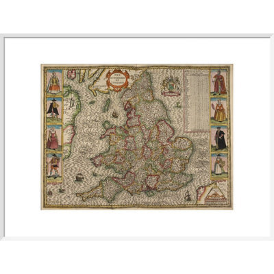
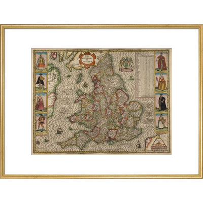
A historic map of the Kingdom of England and Wales by Christopher Saxton, Jodocus Hondius Flander caelavit, drawn in 1610. Counties, towns and cities are marked. In the sea are ships and sea monsters.
Creator: Christopher Saxton